Call Timings: 11 AM -6 PM (Monday to Saturday)
Details
Product Specification :
Physical dimensions: 2.1" x 4.0" x 1.3" (5.4 x 10.3 x 3.3 cm)
Display size, WxH: 1.4" x 1.7" (3.5 x 4.4 cm); 2.2" diag (5.6 cm)
Display resolution, WxH: 240 x 320 pixels
Display type: 2.2" transflective, 65K color TFT
Weight: 5 oz (141.7 g) with batteries
Battery: 2 AA batteries (not included); NiMH or Lithium recommended
Battery life: 25 hours
Water rating: IPX7
High-sensitivity receiver: yes
Interface: USB
Basemap: yes
Ability to add maps: yes
Built-in memory : 3.7 GB
Accepts data cards: microSD™ card (not included)
Custom POIs: yes
(ability to add additional points of interest)
Waypoints/favorites/locations:2000
Routes : 200
Track log: 10,000 points, 200 saved tracks
Automatic routing: yes
(turn by turn routing on roads) (with optional mapping for detailed roads)
Geocaching-friendly: yes (paperless)
Custom maps compatible : yes
Sun and moon information: yes
Tide tables: yes(with optional Bluechart)
Area calculation: yes
Picture viewer: yes
Garmin Connect™ compatible: yes
(online community where you analyze, categorize and share data)
Product Feature :
- Greater resolution with 240 x 320 display pixels for improved readability
- Internal memory expanded to hold more maps
- High-sensitivity, WAAS-enabled GPS receiver with HotFix® and GLONASS support
- 2.2-inch color display
- Worldwide basemap with shaded relief
Additional Information
| Country of Manufacture | |
|---|---|
| Manufacturer | Garmin |
| Warranty Available | 6 Month Warranty |
| Meta Title | No |
- Be the first to review this product
Write Your Own Review
Also Purchased
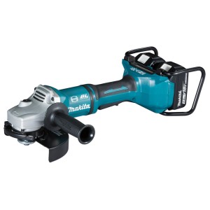
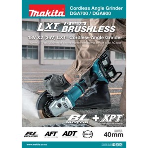
Makita DGA700 Cordless Angle Grinder 180 mm (7″) 18V X2 | TopTools.in
Regular Price: ₹63,000.00
Special Price ₹39,999.00
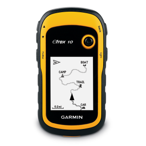
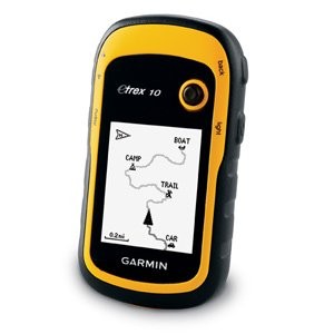
Garmin eTrex® 10 Worldwide Handheld GPS Navigator | TopTools.in
Regular Price: ₹21,874.84
Special Price ₹16,048.00
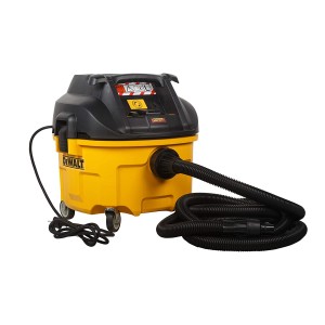

Dewalt DWV901L 1400W 30l Featured Dust Extractor (L-Class), Dry | TopTools.in
Regular Price: ₹31,400.00
Special Price ₹28,500.00
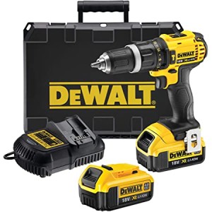
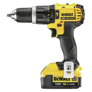
Dewalt DCD785M2 Hammer Drill Driver 18v 13mm | TopTools.in
Regular Price: ₹37,700.00
Special Price ₹24,000.00

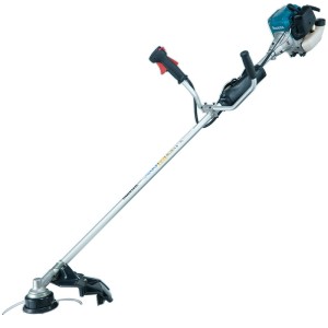
Makita EM3400U Petrol Brushcutter 34.0 mL | TopTools.in
Regular Price: ₹33,840.00
Special Price ₹25,866.00
Check items to add to cart or select all
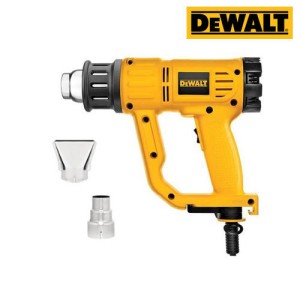
Dewalt D26414 Digital Led Heat gun 2000w 220v | TopTools.in
Regular Price:
Special Price
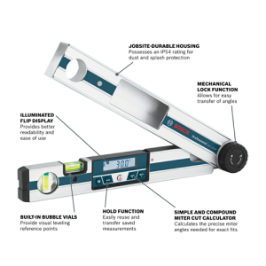
Bosch GAM 220 Angle Measurer Professional | TopTools.in
Regular Price:
Special Price
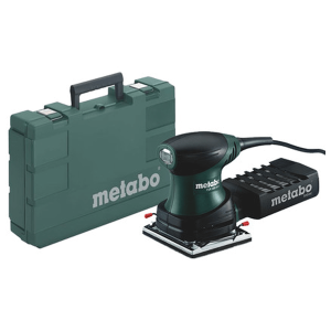
Metabo FMS 200 Intec Multi Sander (600065590) | TopTools.in
Regular Price:
Special Price
Makita ELM4121 Electric Lawn Mower 41 cm (16-1/8″) | TopTools.in
Regular Price:
Special Price
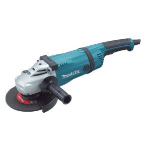
Makita GA7050 Angle Grinder 180 mm (7″) 2,000 W | TopTools.in
Regular Price:
Special Price
Black+Decker FSMH1321 1600W 2in1 steam-mop™ with 6 Accessories | TopTools.in
Regular Price:
Special Price
Makita GA5020C Angle Grinder 125 mm (5″) 1,450 W | TopTools.in
Regular Price:
Special Price
Hikoki DH24PH Rotary Hammers 24mm (15/16") | TopTools.in
Regular Price:
Special Price
Hikoki G18SW2 Disc Grinder 180mm (7") | TopTools.in
Regular Price:
Special Price
Hikoki RB40SA Blower 550W | TopTools.in
Regular Price:
Special Price
Bosch GAS 15 PS Wet/Dry Vacuum Cleaner 15 ltr. | TopTools.in
Regular Price:
Special Price
Hikoki G18SH2 Disc Grinder with Trigger Switch 180mm (7") | TopTools.in
Regular Price:
Special Price
Makita ELM4621 Electric Lawn Mower 46 cm (18-1/8″) | TopTools.in
Regular Price:
Special Price
Makita GA9020 Angle Grinder 230 mm (9″) 2,200 W | TopTools.in
Regular Price:
Special Price
Metabo FSR 200 Intec Orbital Sander (600066500) | TopTools.in
Regular Price:
Special Price
Makita GA7030 Angle Grinder 180 mm (7″) 2,400 W | TopTools.in
Regular Price:
Special Price
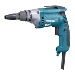
Makita FS2700 Screwdriver 570 W, 0-2,500 RPM | TopTools.in
Regular Price:
Special Price
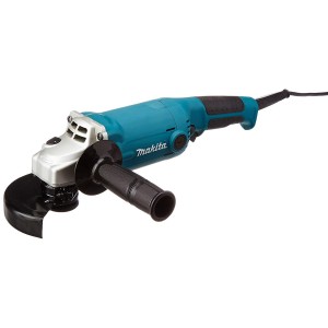
Makita GA5010 Angle Grinder 125 mm (5″) 1,050 W | TopTools.in
Regular Price:
Special Price
Hikoki FCJ65V3 Jig Saw 65mm (2-5/8") 400W | TopTools.in
Regular Price:
Special Price
Hikoki G18ST 180mm (7") Disc Grinder | TopTools.in
Regular Price:
Special Price
